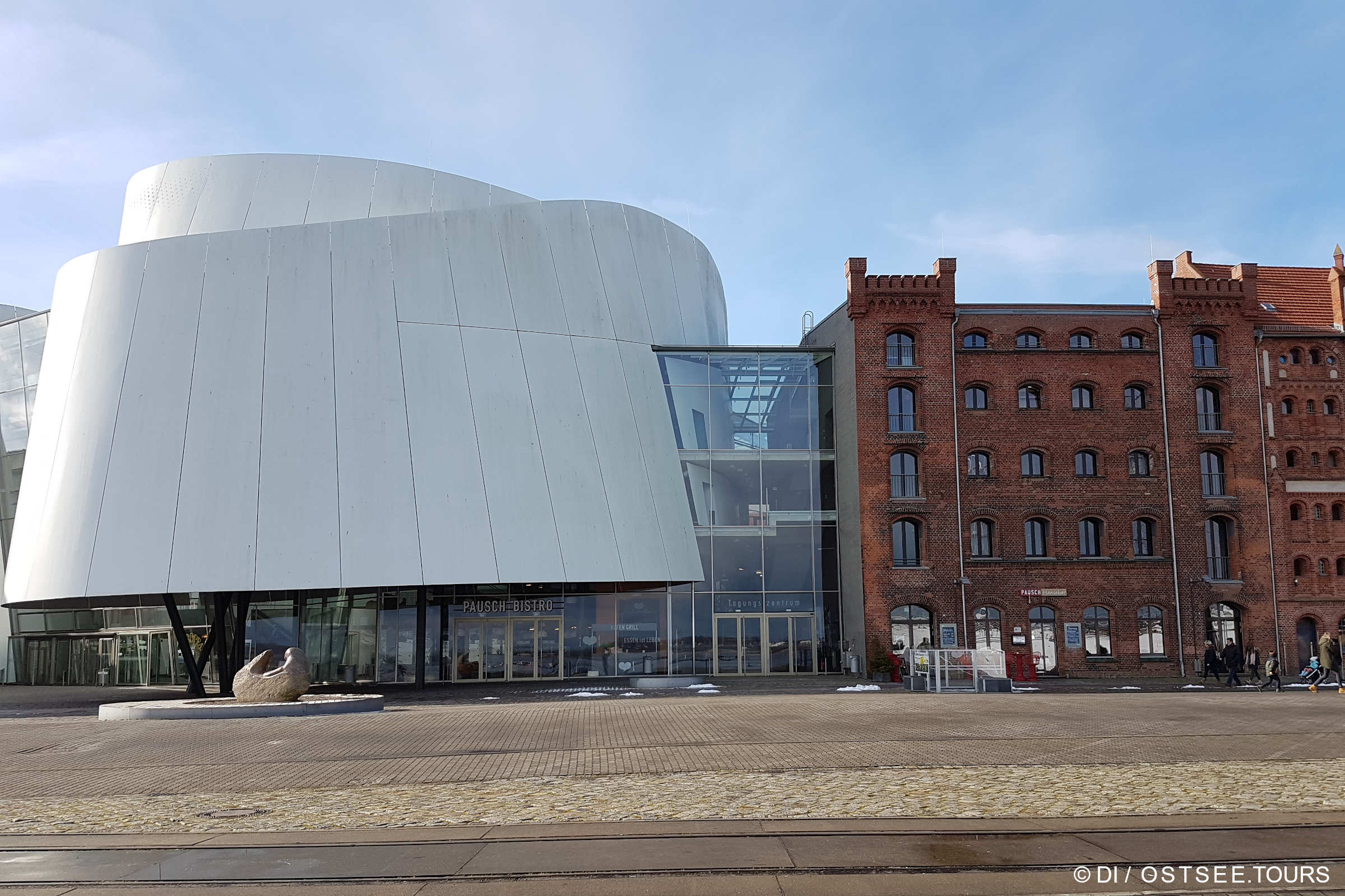
OZEANEUM Stralsund

OZEANEUM Stralsund – eine Liebeserklärung an die Meere

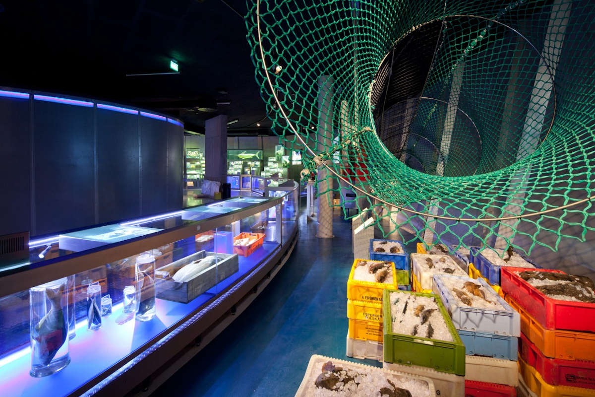
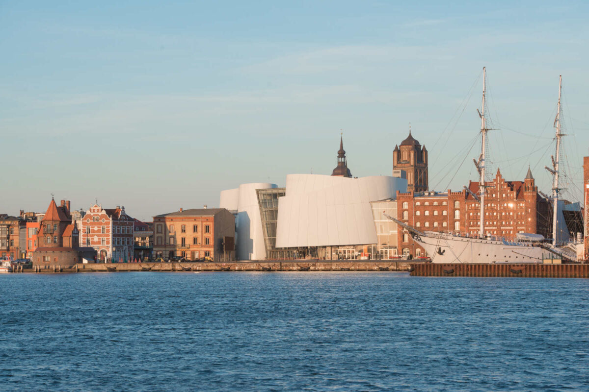
Abtauchen ganz ohne nass zu werden – das ist im OZEANEUM Stralsund möglich. Die abwechslungsreichen Erlebnisausstellungen und 50 Aquarien des OZEANEUMs, das sich auf der Stralsunder Hafeninsel befindet, entführen in die geheimnisvollen Lebensräume der Ost- und Nordsee sowie des Atlantiks. Im Großbecken „Offener Atlantik“, das 2,6 Millionen Liter Wasser fasst und sich über zwei Ebenen erstreckt, ziehen Makrelenschwärme, verschiedene Hai- und Rochenarten ihre Runden.

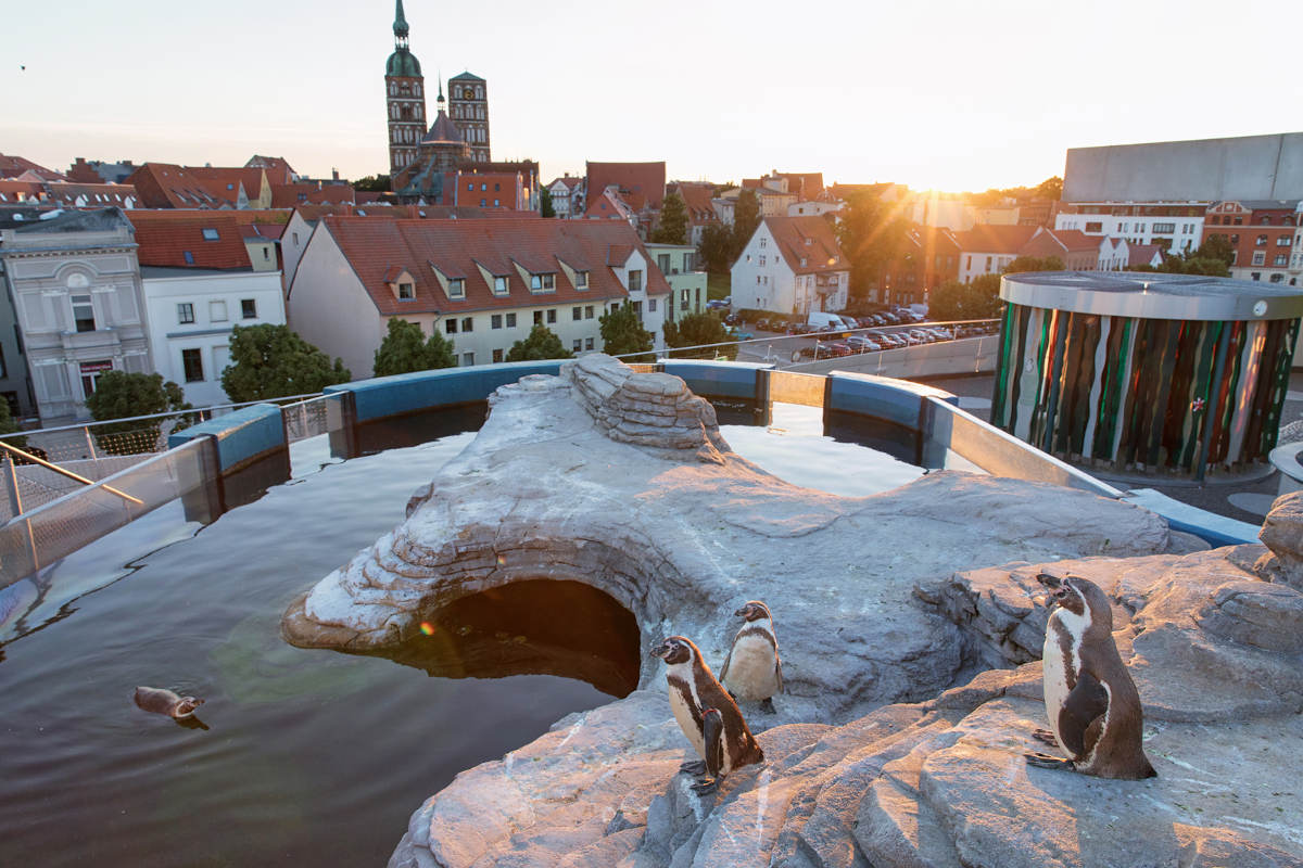
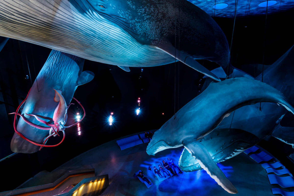
Weltweit einmalig ist die Ausstellung „1:1 Riesen der Meere“ mit Nachbildungen von Walen und anderen Giganten der Ozeane im Originalmaßstab. Ein weiteres Highlight sind die Humboldt-Pinguine auf der Dachterrasse des Museums, die gleichzeitig einen Panaromablick auf die Silhouette der UNSECO-Weltkulturerbe- und Hansestadt Stralsund bietet.

Aktuelle Informationen zu Öffnungszeiten und Eintrittspreisen finden Sie unter www.ozeaneum.de/oeffnungszeiten
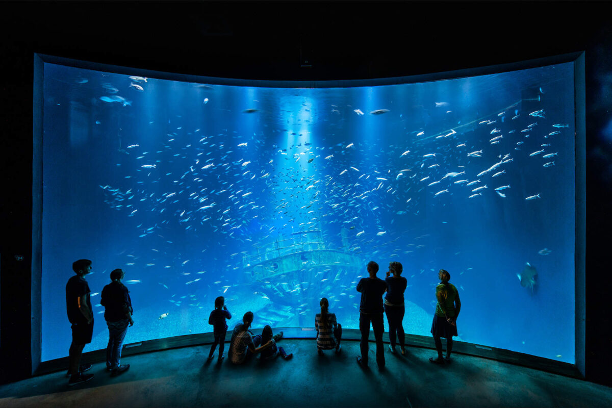
Fotos: Johannes-Maria Schlorke, Susanne Kraus, Anke Neumeister und Martin Harms

  • window.WPLeafletMapPlugin = window.WPLeafletMapPlugin || []; window.WPLeafletMapPlugin.push(function WPLeafletjsonShortcode() {/**/ var src = 'https://ostsee.tours/wp-content/uploads/2020/01/ruegen.geojson'; var default_style = {}; var rewrite_keys = { stroke : 'color', 'stroke-width' : 'weight', 'stroke-opacity' : 'opacity', fill : 'fillColor', 'fill-opacity' : 'fillOpacity', }; // htmlspecialchars converts & to "&"; maybe unnecessarily, and maybe 3x var ampersandRegex = /&(?:amp;){1,3}/g var layer = L.ajaxGeoJson(src.replace(ampersandRegex, '&'), { type: 'json', style : layerStyle, onEachFeature : onEachFeature, pointToLayer: pointToLayer }); var fitbounds = 0; var circleMarker = 0; var popup_text = window.WPLeafletMapPlugin.unescape(""); var popup_property = ""; var group = window.WPLeafletMapPlugin.getCurrentGroup(); var markerOptions = window.WPLeafletMapPlugin.getIconOptions({}); layer.addTo( group ); window.WPLeafletMapPlugin.geojsons.push( layer ); if (fitbounds) { layer.on('ready', function () { this.map.fitBounds( this.getBounds() ); }); } function layerStyle (feature) { var props = feature.properties || {}; var style = {}; function camelFun (_, first_letter) { return first_letter.toUpperCase(); }; for (var key in props) { if (key.match('-')) { var camelcase = key.replace(/-(\w)/, camelFun); style[ camelcase ] = props[ key ]; } // rewrite style keys from geojson.io if (rewrite_keys[ key ]) { style[ rewrite_keys[ key ] ] = props[ key ]; } } return L.Util.extend(style, default_style); } function onEachFeature (feature, layer) { var props = feature.properties || {}; var text; if (0) { text = window.WPLeafletMapPlugin.propsToTable(props); } else { text = popup_property ? props[ popup_property ] : window.WPLeafletMapPlugin.template( popup_text, feature.properties ); } if (text) { layer.bindPopup( text ); } } function pointToLayer (feature, latlng) { if (circleMarker) { return L.circleMarker(latlng); } return L.marker(latlng, markerOptions); }});